
Iril River topographic map
Interactive map
Click on the map to display elevation.
About this map
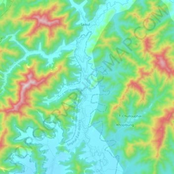
Name: Iril River topographic map, elevation, terrain.
Location: Iril River, Sawombung, Imphal East, Manipur, 795118, India (24.92128 94.01481 25.08031 94.06825)
Average elevation: 992 m
Minimum elevation: 781 m
Maximum elevation: 1,660 m