
Dombawela topographic map
Interactive map
Click on the map to display elevation.
About this map
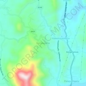
Name: Dombawela topographic map, elevation, terrain.
Location: Dombawela, Matale District, Central Province, 21070, Sri Lanka (7.53468 80.59401 7.57468 80.63401)
Average elevation: 451 m
Minimum elevation: 321 m
Maximum elevation: 904 m