
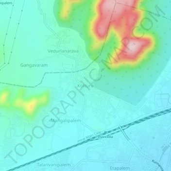
Kotturu topographic map
Interactive map
Click on the map to display elevation.
About this map
Name: Kotturu topographic map, elevation, terrain.
Average elevation: 84 m
Minimum elevation: 23 m
Maximum elevation: 324 m
Other topographic maps
Click on a map to view its topography, its elevation and its terrain.
Yarada
India > Andhra Pradesh > Gajuwaka
Yarada, Gajuwaka, Visakhapatnam, Andhra Pradesh, 530005, India
Average elevation: 60 m