
Shahbad topographic map
Interactive map
Click on the map to display elevation.
About this map
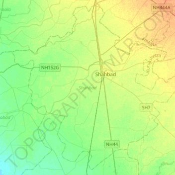
Name: Shahbad topographic map, elevation, terrain.
Location: Shahbad, Kurukshetra, Haryana, India (30.04109 76.72528 30.25584 76.98970)
Average elevation: 263 m
Minimum elevation: 251 m
Maximum elevation: 279 m
Other topographic maps
Click on a map to view its topography, its elevation and its terrain.