
Amaravathi topographic map
Interactive map
Click on the map to display elevation.
About this map
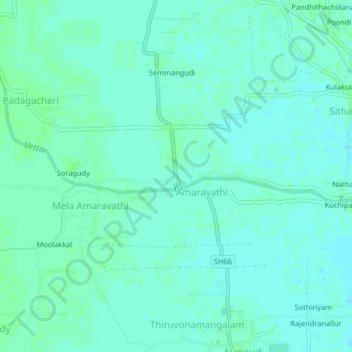
Name: Amaravathi topographic map, elevation, terrain.
Average elevation: 23 m
Minimum elevation: 20 m
Maximum elevation: 26 m
Other topographic maps
Click on a map to view its topography, its elevation and its terrain.
Poondi
India > Tamil Nadu > Valangaiman
Poondi, Valangaiman, Thiruvarur District, Tamil Nadu, 612804, India
Average elevation: 26 m