
Medabedda topographic map
Interactive map
Click on the map to display elevation.
About this map
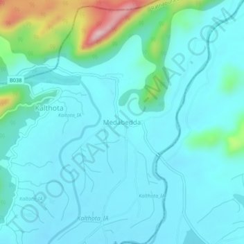
Name: Medabedda topographic map, elevation, terrain.
Location: Medabedda, Ratnapura District, Sabaragamuwa Province, Sri Lanka (6.63710 80.87798 6.67710 80.91798)
Average elevation: 164 m
Minimum elevation: 114 m
Maximum elevation: 436 m