
Udagama topographic map
Interactive map
Click on the map to display elevation.
About this map
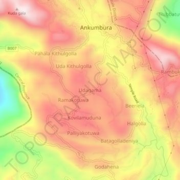
Name: Udagama topographic map, elevation, terrain.
Location: Udagama, Kandy District, Central Province, Sri Lanka (7.40536 80.54961 7.44536 80.58961)
Average elevation: 625 m
Minimum elevation: 251 m
Maximum elevation: 854 m