
Brahmani Tarang topographic map
Interactive map
Click on the map to display elevation.
About this map
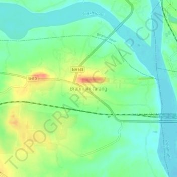
Name: Brahmani Tarang topographic map, elevation, terrain.
Location: Brahmani Tarang, Sundargarh, Odisha, 769041, India (22.21453 84.76081 22.25453 84.80081)
Average elevation: 190 m
Minimum elevation: 172 m
Maximum elevation: 222 m