
Asana topographic map
Interactive map
Click on the map to display elevation.
About this map
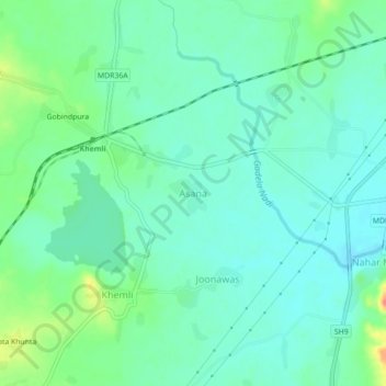
Name: Asana topographic map, elevation, terrain.
Location: Asana, Mavli Tehsil, Udaipur, Rajasthan, 313201, India (24.66726 73.83752 24.70726 73.87752)
Average elevation: 528 m
Minimum elevation: 514 m
Maximum elevation: 563 m