
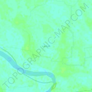
khan villa topographic map
Interactive map
Click on the map to display elevation.
About this map
Name: khan villa topographic map, elevation, terrain.
Location: khan villa, Tangail District, Dhaka Division, Bangladesh (24.06557 89.92240 24.10557 89.96240)
Average elevation: 10 m
Minimum elevation: 6 m
Maximum elevation: 14 m