
Chandrapur topographic map
Interactive map
Click on the map to display elevation.
About this map
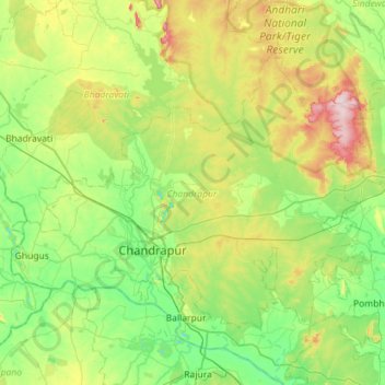
Name: Chandrapur topographic map, elevation, terrain.
Location: Chandrapur, Chandrapur District, Maharashtra, India (19.84350 79.08878 20.21839 79.65766)
Average elevation: 213 m
Minimum elevation: 137 m
Maximum elevation: 402 m