
Bariyatu topographic map
Interactive map
Click on the map to display elevation.
About this map
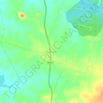
Name: Bariyatu topographic map, elevation, terrain.
Location: Bariyatu, Latehar, Jharkhand, India (23.86964 84.78016 23.90964 84.82016)
Average elevation: 552 m
Minimum elevation: 529 m
Maximum elevation: 594 m