
Ghansaur Tahsil topographic map
Interactive map
Click on the map to display elevation.
About this map
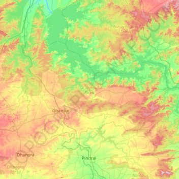
Name: Ghansaur Tahsil topographic map, elevation, terrain.
Location: Ghansaur Tahsil, Seoni, Madhya Pradesh, India (22.56769 79.72362 22.87122 80.28776)
Average elevation: 504 m
Minimum elevation: 370 m
Maximum elevation: 732 m