
Perundurai topographic map
Interactive map
Click on the map to display elevation.
About this map
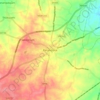
Name: Perundurai topographic map, elevation, terrain.
Location: Perundurai, Erode district, Tamil Nadu, 638052, India (11.23647 77.54363 11.31647 77.62363)
Average elevation: 276 m
Minimum elevation: 231 m
Maximum elevation: 311 m