
Muttil topographic map
Interactive map
Click on the map to display elevation.
About this map
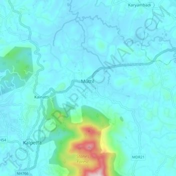
Name: Muttil topographic map, elevation, terrain.
Location: Muttil, Vythiri, Wayanad, Kerala, 673121, India (11.59838 76.07111 11.67838 76.15111)
Average elevation: 791 m
Minimum elevation: 723 m
Maximum elevation: 1,354 m
Other topographic maps
Click on a map to view its topography, its elevation and its terrain.