
Rayapudi topographic map
Interactive map
Click on the map to display elevation.
About this map
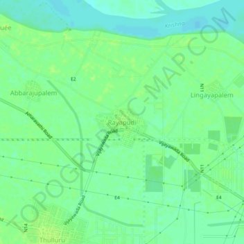
Name: Rayapudi topographic map, elevation, terrain.
Average elevation: 24 m
Minimum elevation: 17 m
Maximum elevation: 29 m
Other topographic maps
Click on a map to view its topography, its elevation and its terrain.
Bhavani Island
India > Andhra Pradesh > Thullur > Amaravati > Venkatapalem
Bhavani Island, Venkatapalem, Amaravati, Thullur, Guntur District, Andhra Pradesh, India
Average elevation: 19 m