
Futala Lake topographic map
Interactive map
Click on the map to display elevation.
About this map
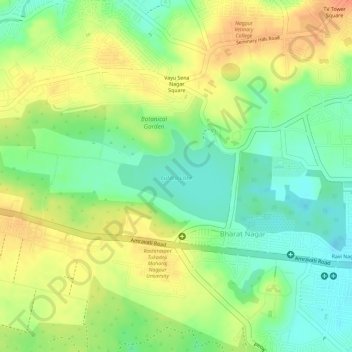
Name: Futala Lake topographic map, elevation, terrain.
Location: Futala Lake, Bharat Nagar, Nagpur, Maharashtra, India (21.15081 79.03595 21.15801 79.04565)
Average elevation: 335 m
Minimum elevation: 310 m
Maximum elevation: 357 m
Other topographic maps
Click on a map to view its topography, its elevation and its terrain.