
Bangora topographic map
Interactive map
Click on the map to display elevation.
About this map
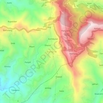
Name: Bangora topographic map, elevation, terrain.
Location: Bangora, Arki, Solan, Himachal Pradesh, 171103, India (31.13557 77.00702 31.17557 77.04702)
Average elevation: 1,380 m
Minimum elevation: 1,061 m
Maximum elevation: 1,768 m