
Bangla topographic map
Interactive map
Click on the map to display elevation.
About this map
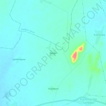
Name: Bangla topographic map, elevation, terrain.
Location: Bangla, Chittaurgarh Tehsil, Chittorgarh, Rajasthan, India (24.93801 74.48805 24.97801 74.52805)
Average elevation: 438 m
Minimum elevation: 426 m
Maximum elevation: 510 m