
Chikkabanavara topographic map
Interactive map
Click on the map to display elevation.
About this map
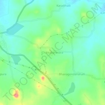
Name: Chikkabanavara topographic map, elevation, terrain.
Average elevation: 780 m
Minimum elevation: 757 m
Maximum elevation: 833 m
Other topographic maps
Click on a map to view its topography, its elevation and its terrain.
Narayana Ghattahalli
India > Karnataka > Arasikere taluku
Narayana Ghattahalli, Arasikere taluku, Hassan District, Karnataka, 573103, India
Average elevation: 821 m