
Jolly topographic map
Interactive map
Click on the map to display elevation.
About this map
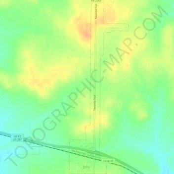
Name: Jolly topographic map, elevation, terrain.
Location: Jolly, Clay County, Texas, United States (33.86292 -98.35527 33.90938 -98.33616)
Average elevation: 300 m
Minimum elevation: 282 m
Maximum elevation: 317 m