
Gharpa topographic map
Interactive map
Click on the map to display elevation.
About this map
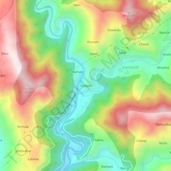
Name: Gharpa topographic map, elevation, terrain.
Location: Gharpa, Kamand, Mandi, Himachal Pradesh, 175005, India (31.75739 76.96504 31.79739 77.00504)
Average elevation: 1,264 m
Minimum elevation: 930 m
Maximum elevation: 1,685 m