
Palvancha topographic map
Interactive map
Click on the map to display elevation.
About this map
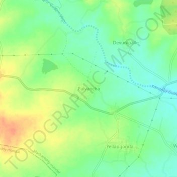
Name: Palvancha topographic map, elevation, terrain.
Location: Palvancha, Machareddy mandal, Kamareddy, Telangana, India (18.30031 78.41684 18.34031 78.45684)
Average elevation: 484 m
Minimum elevation: 466 m
Maximum elevation: 507 m