
Tarkeshwar topographic map
Interactive map
Click on the map to display elevation.
Tarkeshwar
Tarakeswar is located at 22°53′N 88°01′E / 22.89°N 88.02°E / 22.89; 88.02. It has an average elevation of 18 metres (59 feet). It is in the Chandannagore sub-division, in the middle of the district, in Hooghly District of Burdwan Division in the state of West Bengal. The town is connected both by railway and State Highway. The town is 48 km from Chinsurah, the district headquarter and 45 km from Chandannagore, the Sub-Divisional Headquarter and 58 km from Kolkata, the state capital by railway (BG). It is also connected with other urban centers of district with motorable roads.
About this map
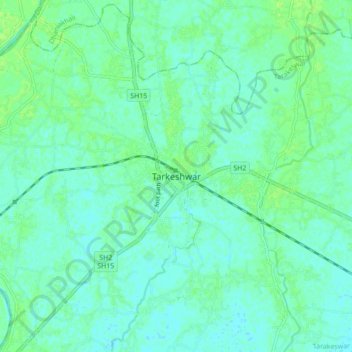
Name: Tarkeshwar topographic map, elevation, terrain.
Location: Tarkeshwar, Tarakeswar, Hooghly, West Bengal, 712410, India (22.84096 87.97448 22.92096 88.05448)
Average elevation: 13 m
Minimum elevation: 9 m
Maximum elevation: 18 m