
Galewela topographic map
Interactive map
Click on the map to display elevation.
About this map
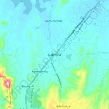
Name: Galewela topographic map, elevation, terrain.
Location: Galewela, Matale District, Central Province, Sri Lanka (7.71966 80.53110 7.79966 80.61110)
Average elevation: 242 m
Minimum elevation: 179 m
Maximum elevation: 618 m