
Kaluga Oblast topographic map
Interactive map
Click on the map to display elevation.
Kaluga Oblast
Kaluga Oblast lies in the central part of the East European Plain. The oblast's territory is located between the Central Russian Upland (with and average elevation of above 200 metres (660 ft) and a maximum elevation of 275 metres (902 ft) in the southeast), the Smolensk–Moscow Upland and the Dnieper–Desna watershed. Most of the oblast is occupied by plains, fields and forests with diverse flora and fauna. The administrative center is located on the Baryatino-Sukhinichy plain. The western part of the oblast — located within the drift plain — is dominated by the Spas-Demensk ridge. To the south is an outwash plain that is part of the Bryansk-Zhizdra woodlands, with average elevation up to 200 m.
About this map
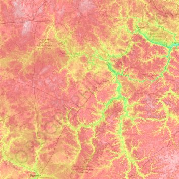
Name: Kaluga Oblast topographic map, elevation, terrain.
Location: Kaluga Oblast, Central Federal District, Russia (53.27699 33.44139 55.35128 37.27543)
Average elevation: 204 m
Minimum elevation: 107 m
Maximum elevation: 311 m
Other topographic maps
Click on a map to view its topography, its elevation and its terrain.