
gumman topographic map
Interactive map
Click on the map to display elevation.
About this map
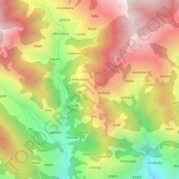
Name: gumman topographic map, elevation, terrain.
Location: gumman, Saluni, Chamba, Himachal Pradesh, 176320, India (32.74795 76.04355 32.78795 76.08355)
Average elevation: 2,050 m
Minimum elevation: 1,372 m
Maximum elevation: 2,634 m