
Dhurātāl topographic map
Interactive map
Click on the map to display elevation.
About this map
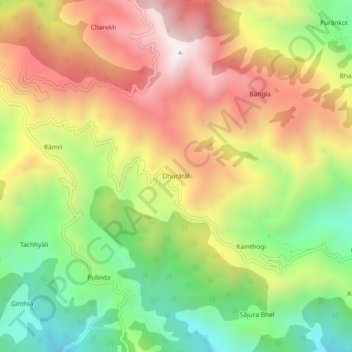
Name: Dhurātāl topographic map, elevation, terrain.
Location: Dhurātāl, Kotdwara, Pauri Garhwal, Uttarakhand, India (29.79727 78.53471 29.83727 78.57471)
Average elevation: 1,265 m
Minimum elevation: 765 m
Maximum elevation: 1,793 m