
Kuttichal topographic map
Interactive map
Click on the map to display elevation.
About this map
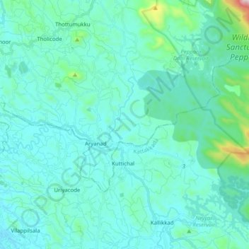
Name: Kuttichal topographic map, elevation, terrain.
Location: Kuttichal, Kattakkada, Thiruvananthapuram, Kerala, India (8.54320 77.09225 8.63927 77.24727)
Average elevation: 121 m
Minimum elevation: 27 m
Maximum elevation: 859 m