
Nargol topographic map
Interactive map
Click on the map to display elevation.
About this map
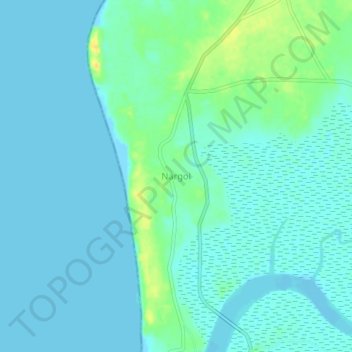
Name: Nargol topographic map, elevation, terrain.
Location: Nargol, Umbergaon Taluka, Valsad, Gujarat, 396135, India (20.20786 72.73117 20.24786 72.77117)
Average elevation: 6 m
Minimum elevation: -1 m
Maximum elevation: 25 m