
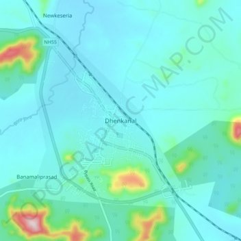
Dhenkanal topographic map
Interactive map
Click on the map to display elevation.
About this map
Name: Dhenkanal topographic map, elevation, terrain.
Location: Dhenkanal, Dhenkanal Sadar, Dhenkanal, Odisha, 759001, India (20.62138 85.56096 20.70138 85.64096)
Average elevation: 98 m
Minimum elevation: 48 m
Maximum elevation: 424 m