
Maniar topographic map
Interactive map
Click on the map to display elevation.
About this map
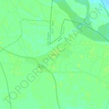
Name: Maniar topographic map, elevation, terrain.
Location: Maniar, Bansdih, Ballia, Uttar Pradesh, India (25.96435 84.15133 26.00435 84.19133)
Average elevation: 61 m
Minimum elevation: 54 m
Maximum elevation: 64 m