
Peliyon Khurd topographic map
Interactive map
Click on the map to display elevation.
About this map
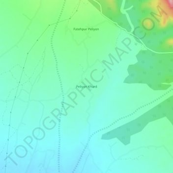
Name: Peliyon Khurd topographic map, elevation, terrain.
Location: Peliyon Khurd, Behat, Saharanpur, Uttar Pradesh, India (30.15624 77.81077 30.19624 77.85077)
Average elevation: 385 m
Minimum elevation: 351 m
Maximum elevation: 507 m