
Jahanpur topographic map
Interactive map
Click on the map to display elevation.
About this map
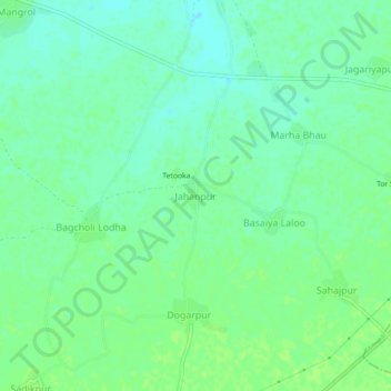
Name: Jahanpur topographic map, elevation, terrain.
Location: Jahanpur, Dhaulpur Tehsil, Dhaulpur, Rajasthan, India (26.77170 77.96186 26.81170 78.00186)
Average elevation: 168 m
Minimum elevation: 162 m
Maximum elevation: 172 m
Other topographic maps
Click on a map to view its topography, its elevation and its terrain.