
Bayana topographic map
Interactive map
Click on the map to display elevation.
About this map
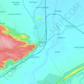
Name: Bayana topographic map, elevation, terrain.
Location: Bayana, Bayana Tehsil, Bharatpur, Rajasthan, 321400, India (26.86594 77.25245 26.94594 77.33245)
Average elevation: 218 m
Minimum elevation: 190 m
Maximum elevation: 368 m