
Undri topographic map
Interactive map
Click on the map to display elevation.
About this map
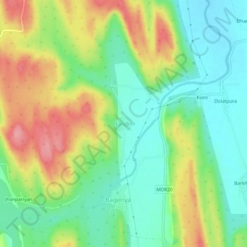
Name: Undri topographic map, elevation, terrain.
Location: Undri, Chittaurgarh Tehsil, Chittorgarh, Rajasthan, India (24.83844 74.77136 24.87844 74.81136)
Average elevation: 498 m
Minimum elevation: 453 m
Maximum elevation: 565 m