
Kallara topographic map
Interactive map
Click on the map to display elevation.
About this map
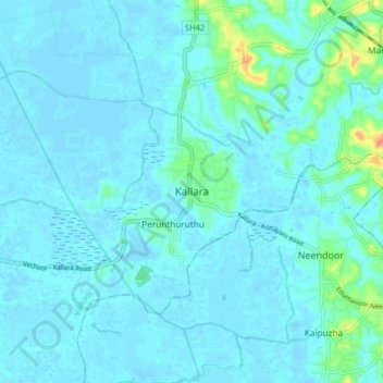
Name: Kallara topographic map, elevation, terrain.
Location: Kallara, Vaikom, Kerala, 686602, India (9.65899 76.43820 9.73899 76.51820)
Average elevation: 5 m
Minimum elevation: -4 m
Maximum elevation: 46 m