
Meepitiya topographic map
Interactive map
Click on the map to display elevation.
About this map
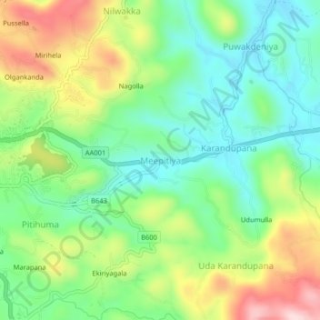
Name: Meepitiya topographic map, elevation, terrain.
Location: Meepitiya, Kegalle District, Sabaragamuwa Province, Sri Lanka (7.23098 80.34841 7.27098 80.38841)
Average elevation: 201 m
Minimum elevation: 91 m
Maximum elevation: 391 m