
Ballarpur topographic map
Interactive map
Click on the map to display elevation.
About this map
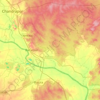
Name: Ballarpur topographic map, elevation, terrain.
Location: Ballarpur, Chandrapur, Maharashtra, 442901, India (19.75863 79.27635 19.95413 79.53381)
Average elevation: 195 m
Minimum elevation: 113 m
Maximum elevation: 269 m
Other topographic maps
Click on a map to view its topography, its elevation and its terrain.