
Piprauli Garhaia topographic map
Interactive map
Click on the map to display elevation.
About this map
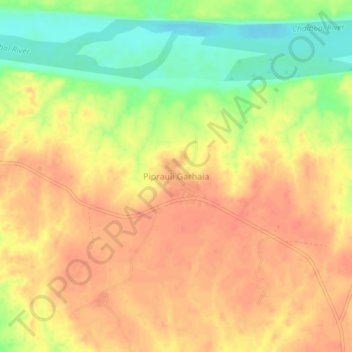
Name: Piprauli Garhaia topographic map, elevation, terrain.
Location: Piprauli Garhaia, Chakarnagar, Etawah, Uttar Pradesh, India (26.49354 79.13148 26.53354 79.17148)
Average elevation: 131 m
Minimum elevation: 100 m
Maximum elevation: 148 m
Other topographic maps
Click on a map to view its topography, its elevation and its terrain.