
Mozari topographic map
Interactive map
Click on the map to display elevation.
About this map
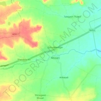
Name: Mozari topographic map, elevation, terrain.
Location: Mozari, Teosa, Amravati, Maharashtra, 444902, India (21.01592 77.96152 21.09592 78.04152)
Average elevation: 334 m
Minimum elevation: 311 m
Maximum elevation: 368 m