
Indor topographic map
Interactive map
Click on the map to display elevation.
About this map
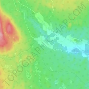
Name: Indor topographic map, elevation, terrain.
Location: Indor, Mora kommun, Dalecarlia, Sweden (61.11659 14.39169 61.15659 14.43169)
Average elevation: 218 m
Minimum elevation: 171 m
Maximum elevation: 311 m