
Meyyur topographic map
Interactive map
Click on the map to display elevation.
About this map
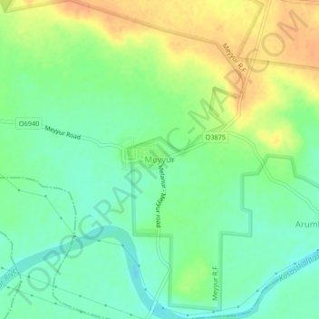
Name: Meyyur topographic map, elevation, terrain.
Location: Meyyur, Uthukkottai, Thiruvallur District, Tamil Nadu, India (13.22202 79.92641 13.26202 79.96641)
Average elevation: 38 m
Minimum elevation: 22 m
Maximum elevation: 59 m