
Sircilla topographic map
Interactive map
Click on the map to display elevation.
Sircilla
The town is located at 18°23′N 78°50′E / 18.38°N 78.83°E / 18.38; 78.83. It has an average elevation of 322 metres (1056 feet). By road, it is located 120 km north of Secunderabad, 40 km west of Karimnagar, 30 km north of Siddipet and 56 km east of Kamareddy. It is 10 km away from the famous Vemulawada temple.
About this map
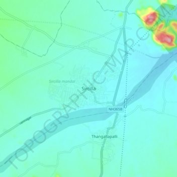
Name: Sircilla topographic map, elevation, terrain.
Average elevation: 338 m
Minimum elevation: 312 m
Maximum elevation: 511 m