
Kanda topographic map
Interactive map
Click on the map to display elevation.
About this map
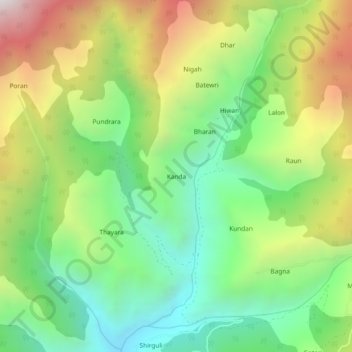
Name: Kanda topographic map, elevation, terrain.
Location: Kanda, Nerua, Shimla, Himachal Pradesh, India (30.99156 77.65544 31.03156 77.69544)
Average elevation: 2,128 m
Minimum elevation: 1,545 m
Maximum elevation: 3,032 m