
Muthanga topographic map
Interactive map
Click on the map to display elevation.
About this map
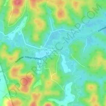
Name: Muthanga topographic map, elevation, terrain.
Location: Muthanga, Sulthanbathery, Wayanad, Kerala, India (11.65145 76.34191 11.69145 76.38191)
Average elevation: 866 m
Minimum elevation: 841 m
Maximum elevation: 910 m
Other topographic maps
Click on a map to view its topography, its elevation and its terrain.