
Ranakpur topographic map
Interactive map
Click on the map to display elevation.
About this map
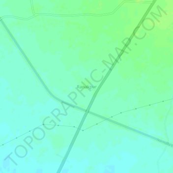
Name: Ranakpur topographic map, elevation, terrain.
Location: Ranakpur, Kankrej Taluka, Banaskantha, Gujarat, 385555, India (23.92372 71.77718 23.96372 71.81718)
Average elevation: 53 m
Minimum elevation: 48 m
Maximum elevation: 60 m