
Kalagaity topographic map
Interactive map
Click on the map to display elevation.
About this map
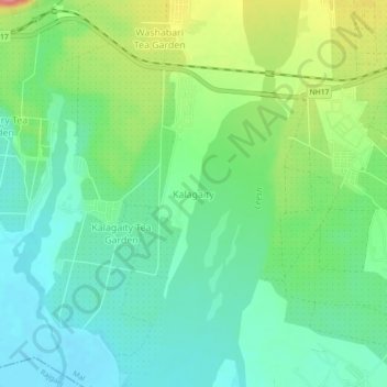
Name: Kalagaity topographic map, elevation, terrain.
Location: Kalagaity, Mal, Jalpaiguri, West Bengal, India (26.83523 88.53592 26.87523 88.57592)
Average elevation: 153 m
Minimum elevation: 123 m
Maximum elevation: 217 m