
Gonagala topographic map
Interactive map
Click on the map to display elevation.
About this map
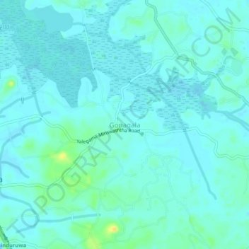
Name: Gonagala topographic map, elevation, terrain.
Location: Gonagala, Galle District, Southern Province, 80510, Sri Lanka (6.36269 80.01326 6.40269 80.05326)
Average elevation: 5 m
Minimum elevation: -2 m
Maximum elevation: 24 m