
Sakoh topographic map
Interactive map
Click on the map to display elevation.
About this map
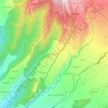
Name: Sakoh topographic map, elevation, terrain.
Location: Sakoh, Dharamshala, Kangra, Himachal Pradesh, 176215, India (32.16751 76.29195 32.20751 76.33195)
Average elevation: 1,022 m
Minimum elevation: 811 m
Maximum elevation: 1,281 m
Other topographic maps
Click on a map to view its topography, its elevation and its terrain.